Many forested landscapes near urban hubs are used both for wood harvesting and for recreational activities. In cases where the public has access to private land for recreational use, private landowners often end up balancing the economic value of wood products with the demands of land-use recreational activities. Communicating the need to harvest and manage the forest to the public can be challenging. A key to creating a quality relationship between private woodlot owners and recreational stakeholders is to demonstrate to the public how harvesting income provides funding to upkeep recreational infrastructure. Private landowners need web-accessible resources for the public to readily understand that responsible forest management benefits all.
Improving Woodlot Management and Recreational Trail Planning through 3D Visualization
Study Area & Background
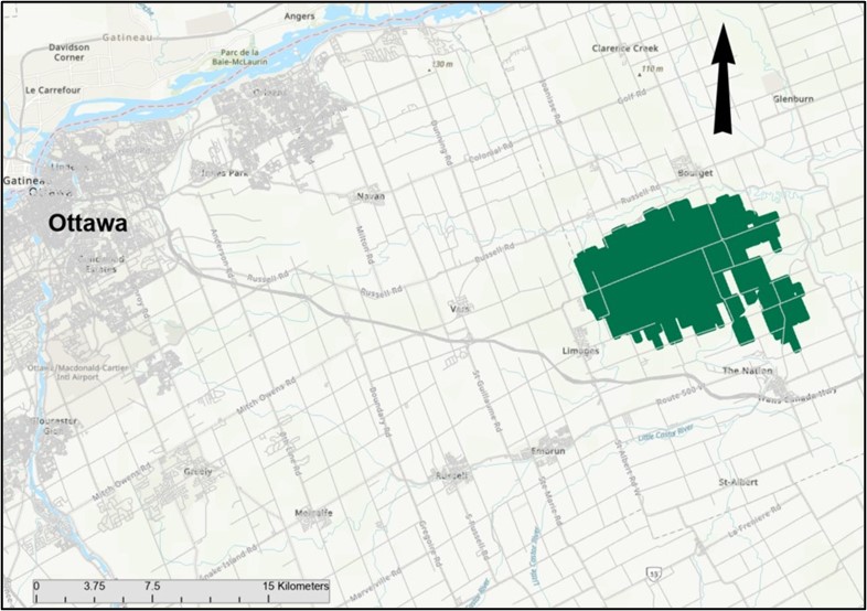
The Larose Forest
In the early 19th century, eastern Ontario had a very active logging industry to supply lumber for the English navy and its shipbuilding industries. Once the old-growth forest had been depleted, loggers harvested smaller trees while farmers burned forests to clear land for crops. By the early 20th century, the land in what is now the United Counties of Prescott and Russell (UCPR) was a blow-sand desert. In the 1920s, the provincial agricultural representative for the area, Ferdinand Larose, put forward the idea of reforestation to combat desertification. The County bought the initial 490 hectares of desert-like land from farmers in 1928 and planted the first stands in the Larose Forest.
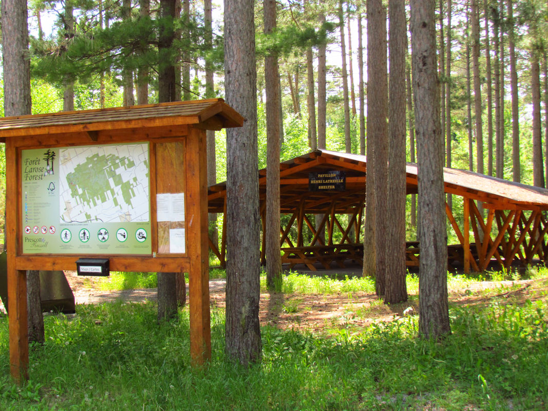
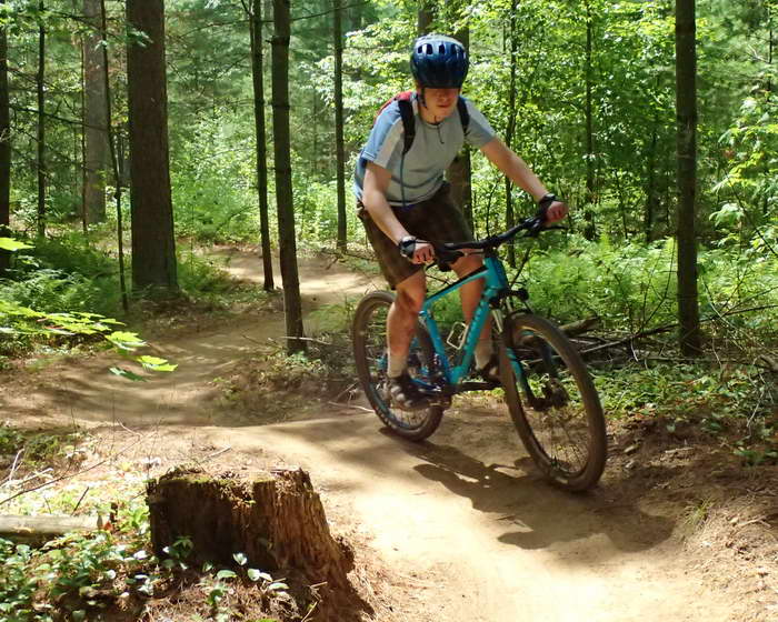
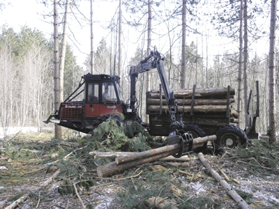
Since the initial purchase of land, the County has continued to acquire land to its current size of 11,000 Ha. The Larose Forest is actively managed by the UCPR with a 20-year forest management plan approved in 2008. Although the primary mandate for the forest is land stewardship with sustainable timber harvesting, the Larose Forest has become a popular site for recreational activities since the forest is coveniently located 50 kilometers east of Canada's capital, Ottawa. The forest now includes a multitude of recreational trails for hiking, mountain biking, horseback riding, snowshoeing, cross-country skiing, dog sledding, dirt biking, ATVing, hunting, and snowmobiling. The County recognizes that its forest harvesting must minimize the impact of the public’s use of its popular trails.
Project Description
The Center for Research & Innovation in the Bio-economy, CRIBE, requested the team create a web application to communicate forest management operations to public stakeholders of the Larose Forest. Using recreational trail data provided by the UCPR, Light Detecting and Ranging (LiDAR) derived data, and the Larose Forest Management Plan, a web application was created using Esri’s Experience Builder with embedded 3D Scenes and visualizations of the relationships between the harvesting proposed by the plan and its impact on recreational trail systems. The aim of this project is to effectively communicate and visualize forestry management practices of privately owned woodlots that have recreational value to community stakeholders.